 |
||||||||||
| Home | Photo | Gallery | Video | Info | ||||||
|
|
|||||||
|
|||||||
|
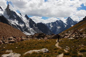
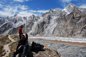
Gondogoro valley, view south towards
Hushe. This side of the pass is quite steep, fixed with ropes. The rock
was partly frozen when we were there. |
The view back towards Gondogoro pass, now
hidden behind the ridge in side valley to the left. |
|
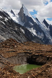
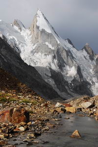
Laila peak in Gondogoro valley |
Laila peak in Gondogoro valley |
| Laila peak in Gondogoro valley |
Laila peak in Gondogoro valley |
|
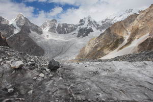
View down, where Gondogoro valley bends
to the left. Masherbrum pass should be on right, does not look easily
accessible over the difficult glacier. |
Maherbrum pass should be on the right. We
considered it as the escape from Baltoro in case of problems with army,
but were happy not to try after we looked at the glacier leading to it. |
|
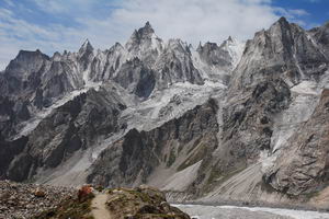
Beautiful unnamed ridge (at least in
standard Swiss map) with friends in foreground. |
Beautiful unnamed ridge (at least in standard Swiss map) |
|
Beautiful unnamed ridge (at least in standard Swiss map) with me in foreground. |
View down the lower part of Gondogoro
glacier, towards Shaishcho. |
|
Bridge at Shaishcho, an army post seemed
to be here as well, but no problems. |
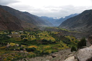
Just before Hushe village - end of our
trek. Local policeman was the first person not accepting our story that
the guide is days behind us with sick clients. We ended up on
police station in Khaplu, but left without problems after telling our
true story and admiting our guilt. Police chief in Khaplu was quite
friendly. |
|
In Hushe |
In Hushe |
|
|
From Skardu up towards Deosai plains in a
jeep |
|
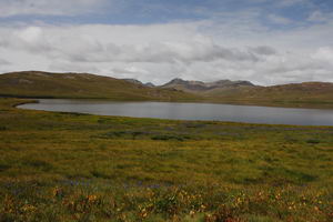
Deosai plains |
Deosai plains |
|
Deosai plains |
Deosai plains |
|
Deosai plains |
Deosai plains were shortcut from Skardu
to Tarashing valley in order to see Rupal face of Nanga Parbat |
|
Tarashing valley. Local policeman
showed us English written paper dated year 2006, saying that
tourists were not allowed here without guide. We ignored this as this
should be an open area. He was probably trying to secure work for local
guides ... |
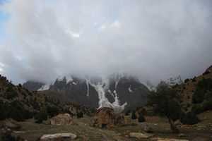
We reached Herligkoffer basecamp after
maybe 3 hours of walking from Tarashing, But clouds during both evening
and morning prevented us from seeing any mountain or face at all. |
|
|
||||||||
|
|
|
|||||||
|
|
||||||||


